
Can you build on a Triangle lot with a creek or pond?
How the state's 50-foot stream buffers in the Neuse and Jordan Lake areas shape where a house, septic system and driveway can go, and who decides.
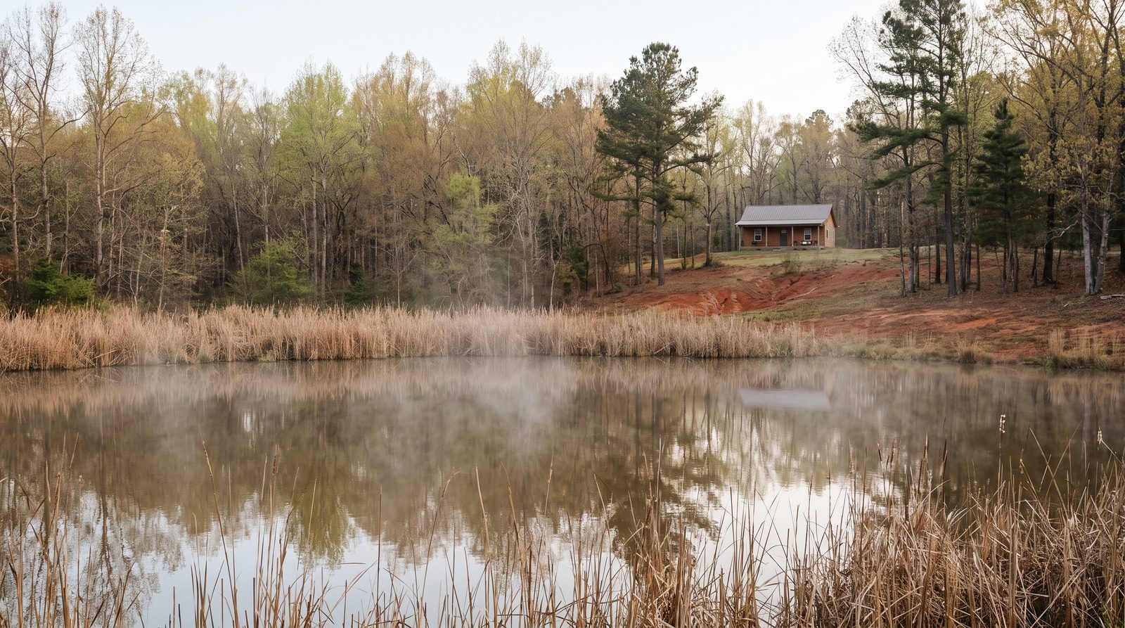
Often you can, but not right next to the water. In the Neuse River basin and the Jordan Lake watershed, state rules protect a strip 50 feet wide on each side of a covered stream, pond or lake, and the house, septic system and most driveway work have to fit around it. Getting the stream checked before you buy can rule a lot out or open it up.
Is the water on our lot covered?
NC DEQ's Division of Water Resources (DWR) runs buffer rules that protect the plants along streams, lakes, ponds and reservoirs. DEQ says the Neuse rules exist to remove nutrients headed downstream, and the Jordan Lake rules exist to protect water supplies. New Neuse rules took effect June 15, 2020; DEQ says the Jordan rules were not changed.
The Neuse rule covers all landowners in the basin, including the Falls Lake watershed. A stream or pond is covered if it appears, even roughly, on the latest NRCS soil survey map or the USGS National Map. In Johnston County, the county says every stream falls under the Neuse rules.
DEQ's step-by-step guide lays out the first look:
- Use the NC Riparian Buffer Areas Map to see whether the land is in a buffered basin.
- Find the stream on DWR's USGS topo and NRCS soil survey map tool.
- If it shows on either map, it is covered by default.
- To challenge the maps, request a stream evaluation (more on that below).
How close can the house, septic and driveway be?
Under the Neuse rule, the buffer has two parts. Zone 1, the 30 feet closest to the water, must stay undisturbed apart from uses the rule allows. For streams it is measured from the top of the bank or the edge of the rooted plants along it, whichever is farther from the water; for ponds and lakes, from the normal water level. Zone 2, the next 20 feet, must stay covered in plants; it can be graded and replanted as long as Zone 1 is not harmed. The Jordan rule uses the same 30-plus-20 layout, and local governments there may require wider buffers.
The Neuse rule says no new building permits may be issued in violation of it. Uses already in the buffer on July 22, 1997 and continued since, such as buildings, existing septic systems, or lawns you can mow without a chainsaw or bush-hog, are not affected, and buying or inheriting the land does not change that. In the Jordan watershed, the date is August 11, 2009, or the date a local program took effect.
What the Neuse rule says about common pieces of a homesite:
- The house: if the rule would prevent building a single-family home, it may reach into the buffer only if it sits as far from the water as the lot allows, is designed to intrude as little as possible, meets the rule's stormwater requirements, and keeps every part of any septic tank and drainfield out of the buffer. Reaching into Zone 2 only needs authorization; reaching into Zone 1 also needs mitigation (making up for the impact).
- Septic: new ground-absorption septic systems are prohibited in the buffer.
- Driveways: a straight crossing with 1/10 acre of buffer impact or less is deemed allowable; more than that up to 1/3 acre needs authorization; beyond 1/3 acre, or a driveway running along the stream, needs mitigation.
- Small things: playground equipment that removes no plants, and fences that keep Zone 1 trees, are deemed allowable.
The Jordan rule sorts driveway crossings by whether they are on a single-family lot (disturbing 25 linear feet or 2,500 square feet of buffer or less, or more than that) or in a subdivision; driveways that are not crossings need mitigation. Ask your local government which category yours falls in.
DEQ's buffer FAQ explains the labels: deemed allowable uses need no DWR approval, others need written authorization, and prohibited uses need a variance. DEQ says impacts can be approved only when there are "no practical alternatives." There is no application fee for buffer authorizations or variances, and an approved variance stays with the property and does not expire.
Who decides whether it's really a stream?
Under the Neuse rule, certified staff visit the site. They can find a mapped feature is not covered if it is a ditch or man-made channel, a man-made pond not connected to a stream, an ephemeral stream (one that runs only briefly after rain), or simply not there. The decision lasts five years and can be appealed in writing to the DWR Director within 60 calendar days. In the Jordan watershed, you go to your local government.
- Unincorporated Wake County: Wake County says in the Neuse basin, DEQ's Raleigh Regional Office (4407 Reedy Creek Road, 919-791-4200) does the checks; in the Cape Fear basin, Wake County Watershed Management (919-856-7436) does.
- Johnston County, outside towns and their ETJs: send stream check forms to Charles Pender (charles.pender@johnstonnc.gov) and impact approvals to Jessica Batten (919-209-8333). The county also publishes a Riparian Buffer Homeowner Guide.
- Inside a town: ask whether your town is on DEQ's list of local governments that run the rules. If not, DWR handles it through its online Stream Determination Request Form.
When do we need a federal permit?
DEQ says DWR decides where streams exist, and the U.S. Army Corps of Engineers decides which wetlands fall under Section 404 of the Clean Water Act. A stream does not have to be on a map to be regulated. Wetlands next to or within 50 feet of covered water count as part of the buffer, but they are regulated under a separate state rule.
A Corps 404 permit is needed to put fill into streams, wetlands or open waters, and a state 401 certification usually comes with it. Disturbing a stream's banks or a wetland, damming a stream for a pond, or filling for a culvert may all need permits. Since December 5, 2025, 404 applications go through the Corps' Regulatory Request System. The state no longer requires a permit for isolated wetlands, but DWR recommends confirming with the Corps first.
The Corps calls mapping wetlands a jurisdictional determination, or delineation; it is generally good for five years. For questions about a purchase contract, a real estate attorney can help.
Sources
- Riparian Buffer Protection Program · NC DEQ Division of Water Resources
- 15A NCAC 02B .0714 Neuse River Basin buffer rule · NC Office of Administrative Hearings · June 15, 2020
- Riparian Buffer Information · Johnston County Public Utilities · July 30, 2026
- Guide: Determine if Your Stream is Subject to Riparian Buffer Rules · NC DEQ
- 15A NCAC 02B .0267 Jordan water supply buffer rule · NC Office of Administrative Hearings · July 7, 2014
- 401 & Buffer Permitting Frequently Asked Questions · NC DEQ
- Riparian Buffers · Wake County
- Raleigh Regional Office · NC DEQ
- Jurisdiction: Wetlands, Streams and Waters Regulated by the Corps · U.S. Army Corps of Engineers, Wilmington District
More on permits and rules

Permits and rules
How to look up a lot's zoning and see how big your house can be
Where to find a lot's zoning in Raleigh, Cary, unincorporated Wake County and Johnston County, and how setbacks, height limits and hard-surface caps shape where your house sits and what you can add.
Permits and rules
Can you build a backyard cottage or in-law suite on your Triangle lot?
What Raleigh, Durham, Cary, Wake County and the new state law say about ADUs, and what to check before you plan a second home on your lot.